Recreation
Best Hikes in Kelowna
Kelowna Team
Facts checked · How we check facts
Summary
The best hiking trails in Kelowna, BC, sorted by difficulty, from flat creekside walks to steep summit climbs.
In this article:
The best hikes in Kelowna are the Mission Creek Greenway for an easy walk, the Myra Canyon Trestles for views, and Knox Mountain's Apex Trail for a summit climb. This guide sorts the rest by difficulty, from flat creekside walks to steep summit climbs, with where to find each trail, what to expect and when to go.
Kelowna Hikes by Difficulty
Kelowna's main hikes fall into three groups: easy family walks, moderate climbs with big views, and hard summit hikes for experienced hikers.
| Trail | Difficulty | Distance | Notes |
|---|---|---|---|
| Mission Creek Greenway | Easy | Over 16 km | Flat gravel, many access points |
| Myra Canyon Trestles | Easy | 12 km one-way | 18 trestles, 3–4 hours return |
| Hardy Falls Trail | Easy | 1.5 km | Waterfall, Peachland |
| Knox Mountain Apex Trail | Moderate | 2.5 km | 308 m gain, 1–1.5 hours up |
| Dilworth Mountain Park | Moderate | 3 to 8 km loops | Less crowded than Knox |
| Crawford Trails | Moderate | 5–12 km loops | Shared with mountain bikers |
| Rose Valley Regional Park | Most skill levels | About 5 km main loop | Grassland and Ponderosa pine |
Easy & Family-Friendly Hikes
The easiest hikes are flat or short trails that work for beginners, families with young kids, or anyone who just wants a walk.
Mission Creek Greenway
Location: Various access points along Mission Creek, Kelowna.
The Greenway is the easiest long walk in the city: a mostly flat gravel trail that follows Mission Creek through the city for over 16 km, from the lake to the upper benches. It works for walking, biking and strollers, with plenty of shade, benches along the way and a decent chance of spotting wildlife. With so many access points you can make it as short or long as you like, and the lower section suits joggers, casual cyclists and wheelchair users. Come in October to watch the salmon spawn.
Kettle Valley Rail (KVR) Trail - Myra Canyon Trestles
Location: Myra Canyon, East Kelowna.
The trestles are the signature Kelowna hike. The route is a 12 km one-way section of the old Kettle Valley Railway bed just outside the city, crossing 18 trestle bridges and passing through two tunnels. They were rebuilt after the 2003 wildfire, and the route is mostly flat and well-maintained, so all ages and abilities can manage it. Allow 3–4 hours for the return trip, bring a light jacket since it's cooler up there, and go during fall colour if you can.
Knox Mountain Park - Paul's Tomb Trail
Location: Knox Mountain Drive, Kelowna.
Paul's Tomb is the easy way to a beach: a short trail in Knox Mountain Park that leads down to a secluded beach on Okanagan Lake, with views of the lake and hills on the way. The beach is a popular spot for swimming and picnics. Knox also has harder climbs, including the Apex Trail below.
Hardy Falls Trail
Location: Peachland.
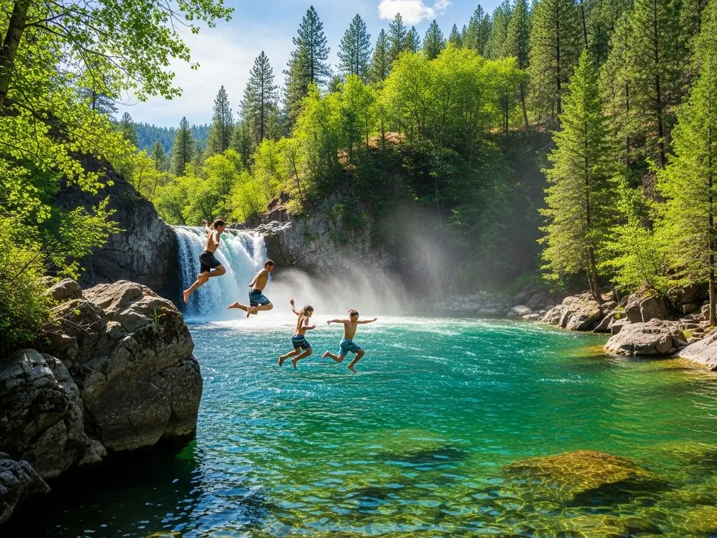
A short (1.5 km), easy walk to a waterfall in Peachland. Combined with Peachland's beach and waterfront, it makes a simple day trip.
Moderate Hikes with Big Views
Moderate hikes involve more climbing and pay off with better views of the city and the valley.
Knox Mountain Park - Apex Trail
Location: Knox Mountain Drive, Kelowna.
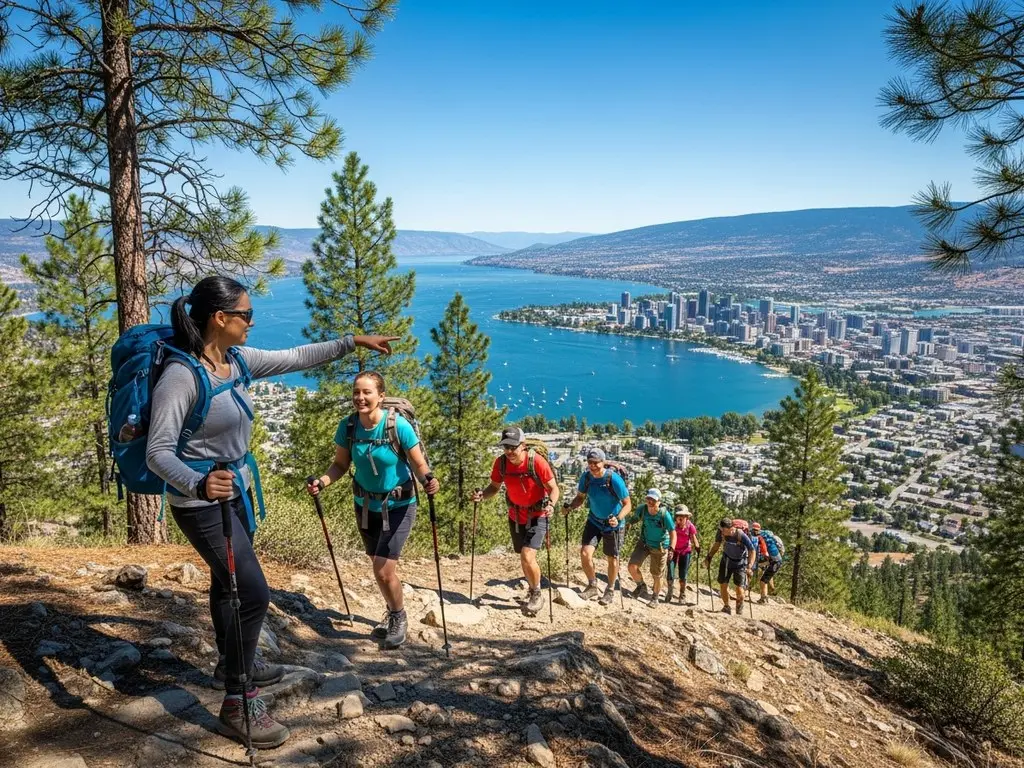
The Apex Trail is the most popular route to the Knox Mountain summit: 2.5 km and 1–1.5 hours up, with 308 m of elevation gain. From the top you see Okanagan Lake, the downtown skyline and the mountains around them, and you can walk to the trailhead from downtown. It's open year-round, but the upper trails can be icy from November through March.
Dilworth Mountain Park
Location: Dilworth Drive, Kelowna.
Dilworth's real selling point is that it's less crowded than Knox Mountain. The hillside park has several trails and loop options from 3 to 8 km, including some steep sections, and the well-maintained trails give you a good workout. The summit has panoramic views of the city, Okanagan Lake and the surrounding mountains.
Bear Creek Provincial Park - Canyon Trail
Location: Westside Road, West Kelowna.
This loop of about an hour runs through Bear Creek Canyon past a series of small waterfalls. It's moderately challenging with some steeper sections, and the forest keeps it cool. For more nearby green space, see our Kelowna parks guide.
Crawford Falls
Location: East Kelowna.
A short but steep trail heads down to a big waterfall, with some scrambling and uneven terrain on the way. Go in spring, when the water flow is high and the falls are at their most impressive.
Crawford Trails
Location: East Kelowna.
This network is popular with hikers and mountain bikers alike, with city and lake views from exposed ridgelines. Loops run 5–12 km at moderate difficulty, and bikers will find some technical sections. The Little White Trail connects to the lower mountain biking area.
What are the hardest hikes in Kelowna?
The hardest hikes are steep, rocky climbs over longer distances, best left to experienced hikers.
Mount Boucherie
Location: West Kelowna.
Mount Boucherie is an extinct volcano with a steep, rocky trail. The summit view takes in the whole Okanagan Valley.
Pincushion Mountain
Location: Peachland.
Pincushion is a hard, steep and rocky climb just outside Kelowna, popular for its big views. A Canadian flag marks the summit.
Okanagan Mountain Park
Location: South Kelowna.
This large park has a network of trails, many of them challenging enough that you need good fitness. The payoff is views of Okanagan Lake and the surrounding mountains. Watch for wildlife and bring plenty of water.
Hiking Tips for Kelowna
Hiking safely here means checking the forecast, carrying plenty of water, and knowing you're in bear, cougar and rattlesnake country.
Okanagan weather can change quickly, so check the forecast before you head out, and tell someone where you're going. Most trails call for hiking boots or sturdy shoes. Bring plenty of water on hot days, pack snacks like energy bars, fruit or nuts, and wear sunscreen and a hat even when it's cloudy.
This is bear and cougar country, and coyotes are around too. Make noise on the trail, travel in groups when you can, keep dogs on leash, and carry bear spray in remote areas like Myra-Bellevue and Bear Creek. Bear sightings are not unusual, but attacks are extremely rare. Rattlesnakes live on the dry grassland trails, so watch where you step, especially from April through October.
Pack out everything you pack in and stay on designated trails. Some trails close or get harder to reach in the winter months, and in summer you'll want to start early to beat the heat.
When is the best time to hike in Kelowna?
Fall is the best time to hike, but every season works if you pick the right trails.
Spring (April–May): Lower trails like Knox Mountain, Mission Creek and Dilworth are open and the wildflowers are out. Higher trails like Myra Canyon and Crawford can hold snow into May, and shaded north-facing trails get muddy.
Summer (June–August): Everything is open, but the heat is significant. Hike early or late to avoid 30°C+ afternoons, and carry at least 2 litres of water per person. In August, wildfire smoke can cut visibility and air quality.
Fall (September–October): The best hiking season, with comfortable temperatures, fall colour, clear air and fewer people.
Winter (November–March): Knox Mountain and Mission Creek stay accessible but can be icy. Higher trails turn into snowshoe and cross-country ski terrain, so bring microspikes or snowshoes.
Trail Running
Trail running here centres on Knox Mountain for short climbs, Mission Creek for flat distance, and Crawford and Myra-Bellevue for technical terrain.
Knox Mountain's summit trail is a popular pre-work run. For longer distances, the Mission Creek Greenway is flat and shaded. Experienced runners head to Crawford and Myra-Bellevue for technical terrain, and local running clubs organize group trail runs and races.
After the Hike
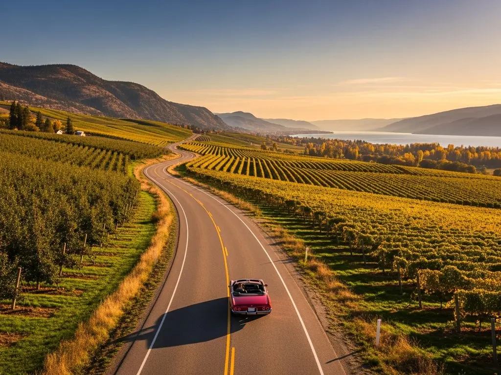
The same trail changes noticeably between spring blossom and fall colour, so favourites are worth repeating through the year. A common way to end a long hike here is a glass of local wine with a view of the lake. For other ways to get outside, see our outdoor recreation guide.
More Kelowna Hikes
These are five more Kelowna-area trails worth knowing, from grassland walks in Glenmore to mountain bike trails at Myra-Bellevue.
Stephens Coyote Ridge Regional Park
Location: Glenmore, Kelowna.
Moderate trails run through sagebrush and grassland with panoramic views. Wildlife is common.
Black Mountain Trail
Location: Black Mountain, Kelowna.
A steep climb with views across the valley. Proper hiking shoes are needed.
Lebanon Creek Regional Park
Location: West Kelowna.
Quiet trails follow Lebanon Creek through this small West Kelowna park.
Rose Valley Regional Park
Location: West Kelowna.
Rose Valley suits most skill levels, with lots of trails, varied terrain and good views. The main loop is about 5 km through grassland and Ponderosa pine, looking over Rose Valley Reservoir, with spring wildflowers and year-round bird watching. It's a quieter alternative when the in-town trails are busy.
Myra-Bellevue Provincial Park
Location: Connects to the Kettle Valley Rail Trail.
Myra-Bellevue is best known for mountain biking from beginner-friendly to expert, with Vapour and Gigawatt the local favourites for flow riding. The trails work well for hiking and trail running too.
Frequently Asked Questions
What is the easiest hike in Kelowna?
The Mission Creek Greenway is generally considered the easiest hike in the city. It's flat, mostly gravel, and follows Mission Creek, so it works for an easy walk with the family.
Are there any hikes with waterfalls near Kelowna?
Yes. Crawford Falls and the Canyon Trail in Bear Creek Provincial Park both lead to waterfalls, and each involves a moderate climb.
What is the most challenging hike in Kelowna?
Mount Boucherie is usually considered the most challenging hike around. Its trails are steep and rocky, and the summit has panoramic views.
Do I need bear spray for hiking in Kelowna?
You don't need bear spray on every trail, but it's worth carrying in remote areas like Okanagan Mountain Park, Myra-Bellevue and Bear Creek. Bear sightings are possible there, so make noise while hiking, know what to do in a bear encounter, and check recent park alerts for current information.
What should I wear for hiking in Kelowna?
Wear comfortable hiking shoes or boots with good traction, and dress in layers because the weather can change quickly. Bring a hat and sunscreen, and choose moisture-wicking clothing to stay cool and dry.