
Living
Public Transportation in Kelowna
Facts checked · How we check facts
In this guide:
Public transportation in Kelowna is BC Transit's bus system, with over 20 routes across Kelowna, West Kelowna and Lake Country, though it's still mostly a car city. Where you live determines how practical transit, cycling and ride-sharing are, and whether a household needs one car or two. Below are bus routes and fares, the bike network, what driving here is really like, and future transit plans.
BC Transit in Kelowna
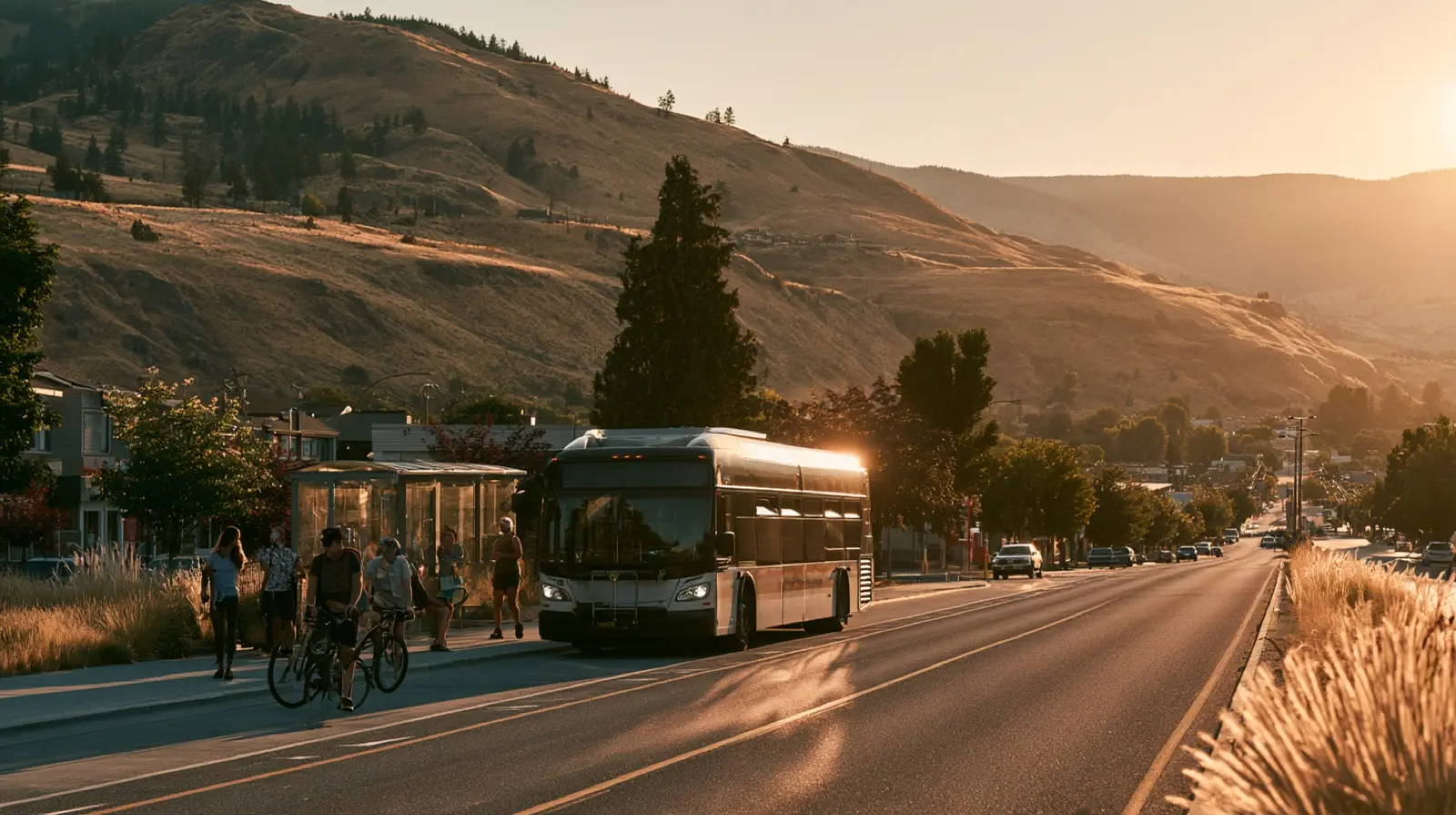
BC Transit runs over 20 routes across Kelowna, West Kelowna and Lake Country, and most of them meet at the Queensway Transit Exchange downtown, the system's central hub. According to BC Transit's fare page, an adult fare is $3 per ride, a DayPASS with unlimited rides is $6, and a 30-day adult pass costs $80. You can pay with the Umo card (a reloadable transit card) or tap through the Umo app. Buses run roughly 6:00 AM – 11:00 PM on weekdays, with less service on weekends and holidays.
Key Bus Routes
The key bus routes are Route 1 (Lakeshore/Downtown), Route 6 (Glenmore/UBCO Express), Route 97 (Okanagan), Route 11 (Rutland/Downtown) and Route 23 (Lake Country). Which one matters depends on where you live, and BC Transit's route maps show each one. Route 1: Lakeshore/Downtown runs from downtown through Pandosy Village and along Lakeshore Road toward the Mission, and it's popular with people who live near the lake.
Route 6: Glenmore/UBCO Express connects Glenmore and downtown to the UBC Okanagan campus; UBCO students and Glenmore residents rely on it, and it's busiest during school terms. If you commute across the bridge, Route 97: Okanagan is your fastest bus, running quickly along Highway 97 from Westbank/West Kelowna across the Bennett Bridge into Kelowna. Route 23: Lake Country serves Winfield and Oyama and links to the main city network; it only comes every 30–60 minutes, but it's reliable.
Route 11: Rutland/Downtown connects Rutland, the city's most populated neighbourhood, to downtown. Route 4: Pandosy/Orchard Park links Pandosy Village and the south-central neighbourhoods to Orchard Park Mall. Route 16 serves the Mission.
Transit Tip: Get the BC Transit NextRide app for live bus tracking and trip planning, and the Umo mobile app so you can buy and store fares on your phone and never need exact change. A 30-day pass ($80) pays for itself if you ride more than about 27 times a month.
Cycling & Active Transportation
Kelowna has over 300 km of bike routes and multi-use trails, the result of sustained city investment. For north-south trips there's the Ethel Street protected bike lane, the Rail Trail and the Okanagan Rail Trail, a 52 km path from Kelowna toward Vernon that's mostly open, though a roughly 7 km section north of the airport isn't built yet. The Mission Creek Greenway adds about 16 km of multi-use trail along the creek, used for commuting, running and family rides.
Between the City of Kelowna's Bike Share program and more protected bike lanes downtown, biking is a real option for trips under 10 km. The valley floor is flat and the climate is dry, so riding is practical 8–9 months of the year.

How Long Are Commutes in Kelowna?
Most households here get around by car, and most commutes take under 20 minutes. The main bottleneck is the William R. Bennett Bridge between Kelowna and West Kelowna at rush hour (7:30–8:30 AM and 4–5:30 PM), when a typical 5-minute crossing can stretch to 15–25 minutes.
Highway 97 through the city can slow at peak hours too, especially around Orchard Park and the Highway 33/97 interchange. Parking is cheap by big-city standards: downtown is metered or paid by the hour, and most suburban shopping centres have free parking. ICBC car insurance is required, with rates based on your vehicle, coverage and driving record.
Ride-Sharing & Taxis
Uber operates here, and the local taxi companies are Kelowna Cabs and Checkmate Cabs. If you're flying in, several shuttle services run from Kelowna International Airport (YLW) to hotels and spots around the city.
Future Transit Plans
The City of Kelowna and BC Transit are planning a rapid transit corridor along Highway 97, with bus-only lanes and more frequent service. Once its last gap near the airport is built, the Okanagan Rail Trail will be one continuous multi-use trail from Kelowna toward Vernon. Bike lanes keep expanding, and new homes and shops are planned around the Queensway Exchange to support transit, so the city is heading toward more ways to get around than driving. For years to come, though, expect most households to keep at least one vehicle.